
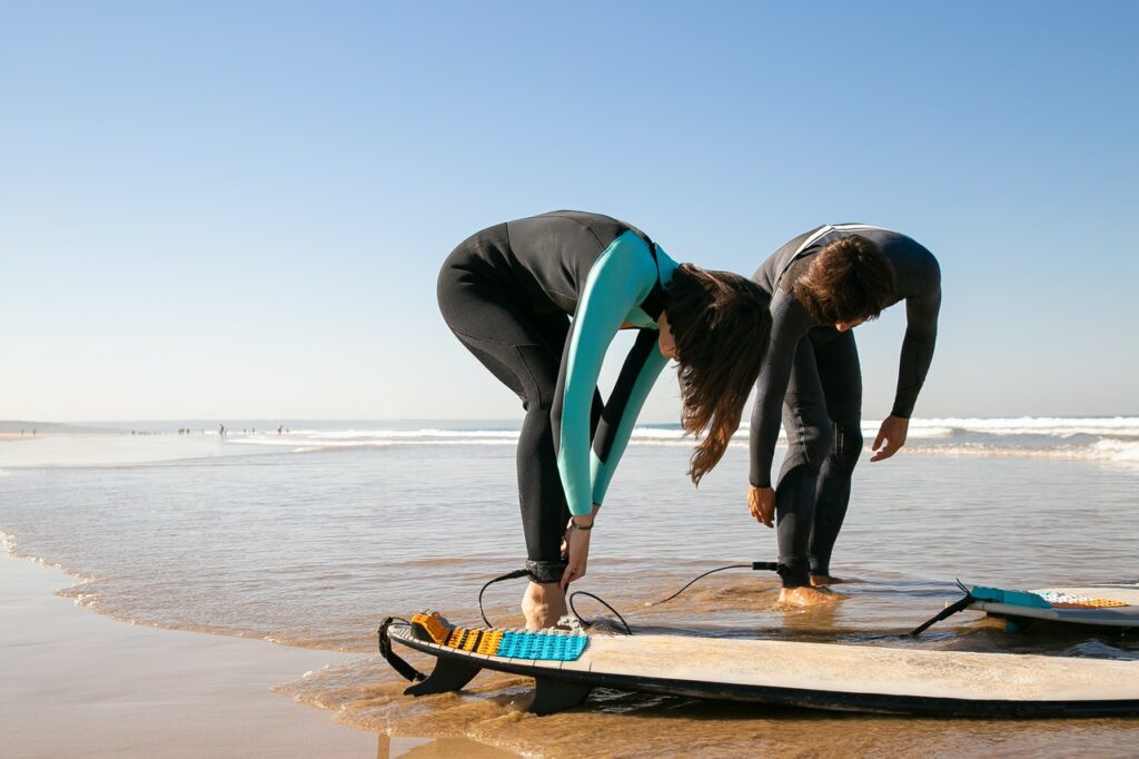
My Top Tips for Intermediate Surfers
Beginners in any sport need to be given special attention, because they often endanger themselves and others and in the process, could hurt people. In...
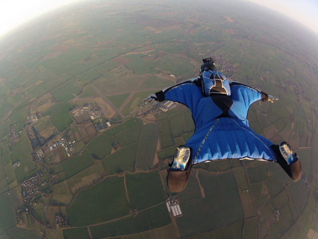
How Much Are Extreme Sports Paid? – Is the Risk Worth It?
Everybody needs a job, money is essential to surviving nowadays, or so the world tells us. Obtaining most goods is impossible without money, so we...

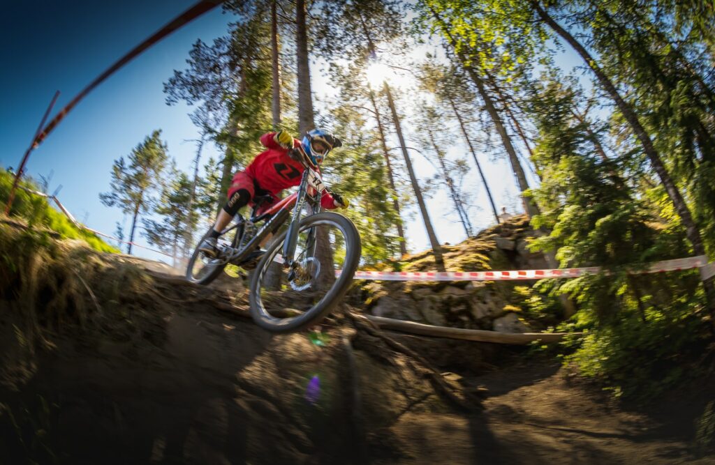
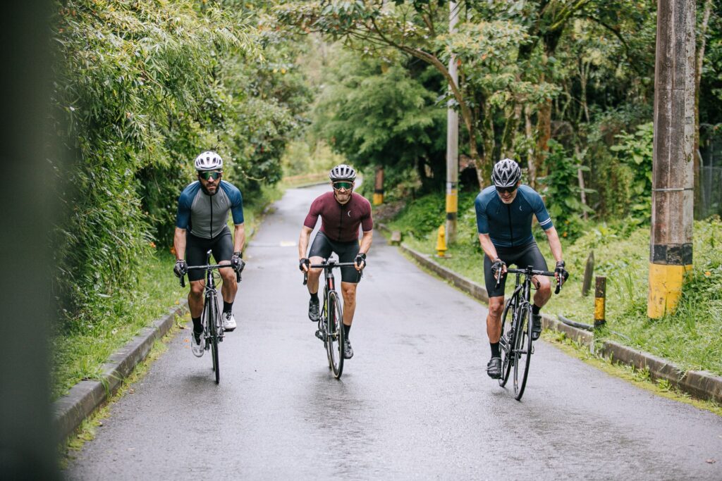
4 Mistakes Beginner Cyclists Make and How to Avoid Them
Cycling, like any other sport, has a learning curve. Learning how to cycle ranges from not falling from the bicycle to doing double flips and...
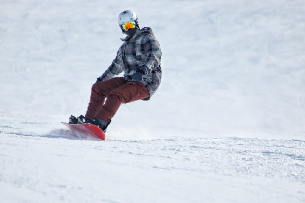
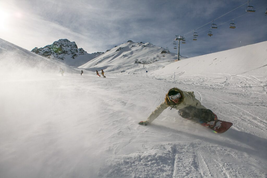
Important Snowboarding Tips for Beginners
Learning a sport can be a tough thing to do. Whenever we start doing something new, we run into trouble, sooner or later. If we...

Most Impressive Skateboarding Tricks
Every sport has its tricks and moves, like hitting a point from across the court in basketball, hitting a home run, a hole in one...
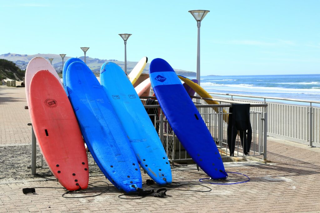
The Surfing Equipment You Need – The Essentials
Every sport has some requirements that an athlete must meet in order to even start playing or practicing the sport. From one sport to another,...
5 Extreme Sports You Might Not Have Heard of
Extreme sports are interesting and we all love them for it. Snowboarding, freerunning, parachuting, free climbing or ice diving are not the only extreme sports...
Top 4 Spots to Snowboard in the World
Like most sports, there are special places where these spots need to be practiced. Some of these sports require a court, a pitch, a field,...
Cycling for Beginners: 4 Need-to-Know Tips to Get Started
Everybody wants to try something new at some point in their lives. Hobbies are what make our days full and interesting. From knitting to playing...

A Brief Overview of the History of Skateboarding
Everything must start somewhere and even skateboarding had its start. Most would argue that skateboarding is a relatively new sport and they would be right,...